Serving Midwest Aviation Since 1960

Photo Contest

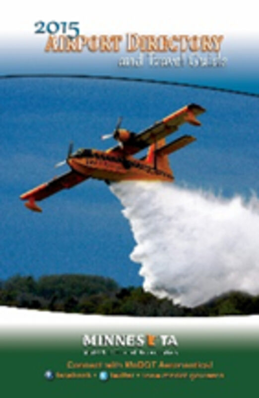
ST.PAUL, MINN. – The MnDOT Office of Aeronautics is excited to invite the public to submit your best photos showcasing the spirit of Minnesota aviation. Think breathtaking aerial views, special moments at an airport or the incredible airplanes in our state! The winner is selected internally and may be featured on publications, including the 2026 Minnesota Airport Directory and Travel Guide.

By submitting your photo(s), you agree to allow the MnDOT Office of Aeronautics to use your photos without additional compensation, and your submission indicates that you are a photographer and that the photo was taken in Minnesota. Photo credit will be provided when possible.

Preferred minimum size is 6 megapixels for portrait and 12 megapixels for landscape. Please submit your photos to danielle.walchuk@state.mn.us by September 30, 2025.

Aero update:

Plan Your Next Flight with Ease: New Digital Tools Now Available on MnDOT Aeronautics Webpage

By the MnDOT Office of Aeronautics

Planning your next flying adventure just got easier. The Minnesota Department of Transportation’s Office of Aeronautics is excited to announce the release of two new digital tools designed to support aviation trip planning and in-flight navigation across the state.

Whether you're exploring Minnesota's scenic airports for the first time or flying your favorite weekend route, these resources are built to keep you informed and connected:

✈️ Minnesota AirportFinder App

Now live on the Aeronautics webpage, this interactive web map puts airport details at your fingertips. Browse the entire network of Minnesota’s public-use airports with ease—filter by amenities, runways, services, and more. It’s a great way to plan your next fly-in, fuel stop, or overnight visit.

📱 Airport Directory ForeFlight Content Pack

Pilots who use ForeFlight can now download the Minnesota Airport Directory directly into their flight bag. This content pack brings MnDOT’s trusted airport data into your flightdeck—complete with runway info, contact numbers, aerial photos, and more—all integrated with your flight planning workflow.

Together, these tools offer a modern, accessible way to chart your next aviation experience in Minnesota—on the ground and in the air.

Access both tools today through the MnDOT Aeronautics website:

🔗 http://www.dot.state.mn.us/aero

Whether you’re flying solo, planning a group trip, or checking off airports in the Fly Minnesota Airports Passport Program, these new resources make it even easier to explore everything Minnesota aviation has to offer.


Reader Comments(0)